Geographic Overview and Regions
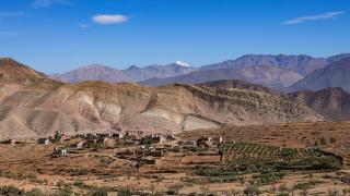
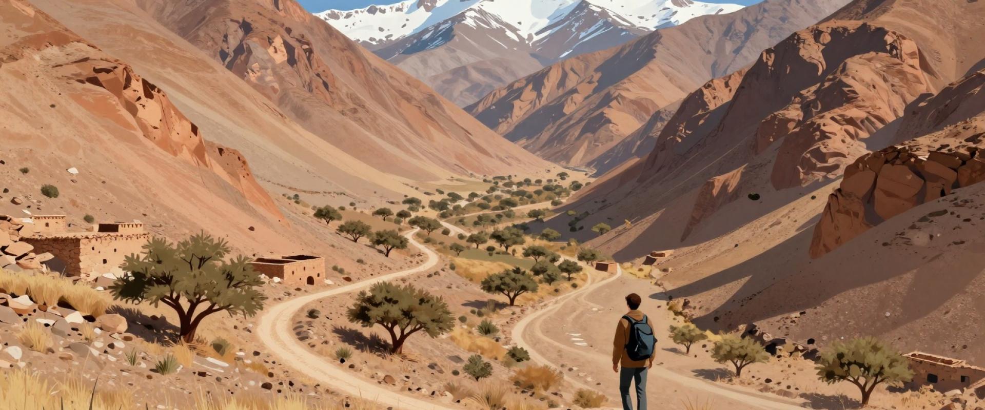
Morocco’s Atlas Mountains comprise three distinct ranges: the Anti-Atlas, High Atlas, and Middle Atlas. The High Atlas serves as the primary trekking hub for travelers. It contains Mount Toubkal, the highest peak in North Africa at 4,167 meters. This elevation makes it a critical destination for mountaineers. Imlil village acts as the main logistical gateway for these routes. Trekkers typically start their journeys from this Berber village near Marrakech. The region offers multi-day routes and day hikes from the city. Seasonal weather significantly impacts trekking safety and accessibility. Proper preparation is essential for navigating these high-altitude environments. The Middle Atlas features cedar forests and different terrain. The Anti-Atlas provides arid landscapes for varied hiking experiences. Each range offers unique geographic challenges for adventurers.
Primary Trekking Itineraries
The two-day Toubkal summit trek starts in Imlil. Hikers reach the refuge overnight before ascending the summit. This route demands good fitness and proper gear. The multi-day Toubkal Circuit offers better acclimatization. It allows gradual elevation gain over several days. The Valley of the Roses trek connects ranges. It links the High Atlas with the Anti-Atlas. This route features diverse landscapes and Berber villages. Day hikes from Marrakech suit shorter timeframes. These trips provide quick mountain access without overnight stays. Guides are essential for navigation and safety. Local mules transport heavy gear on longer routes. Seasonal weather significantly impacts route conditions. Winter treks require crampons and ice axes. Summer months offer clearer paths and warmer temperatures. Booking guides in advance is recommended during peak season. All routes respect local Berber customs and traditions.
Seasonal Conditions and Accessibility
Spring and autumn offer optimal trekking conditions in Morocco’s High Atlas. Temperatures remain moderate, ensuring safe passage for hikers. Summer brings intense heat to lower valleys near Marrakech. Trekkers must carry extra water and sun protection during these months. Winter transforms the High Atlas with significant snowfall. Routes to Mount Toubkal require technical gear like crampons and ice axes. Snow often blocks higher passes until late spring. Always check real-time weather reports before departure. Local guides in Imlil provide current snow line updates. These reports are critical for route safety. Accessibility varies greatly by elevation and season. Lower Middle Atlas trails remain open year-round. Higher altitude routes close during heavy snow periods. Plan itineraries around these seasonal shifts. Proper preparation ensures a successful Moroccan mountain trek.
Logistics and Permit Requirements
Foreign trekkers must hire a licensed local guide for Mount Toubkal ascents. This mandatory rule ensures safety and supports local economies. You must register your itinerary with the local Gendarmerie before starting multi-day treks. This process is mandatory for all non-day hikes in the High Atlas. Accommodation options include mountain refuges, Berber guesthouses, and designated camping sites. Refuges offer basic dormitory beds and meals. Guesthouses provide private rooms and traditional hospitality. Camping requires prior permission from village authorities. Transportation from Marrakech to the Imlil trailhead takes approximately one hour by car or shared taxi. Buses depart frequently from the central station. Ensure your vehicle is suitable for mountain roads. Carry cash for guide fees and refuge deposits. Credit cards are rarely accepted in remote villages. Plan your permit registration upon arrival in Imlil. This step prevents delays at trail checkpoints.
Safety Protocols and Health Precautions
Altitude sickness affects hikers above 2,500 meters in the High Atlas. Ascend slowly to prevent headaches and nausea. Carry acetazolamide if prescribed by a doctor. Layer clothing for extreme temperature shifts. Days are warm, but nights drop below freezing near Imlil. Wear moisture-wicking base layers and insulated jackets. Terrain hazards include loose scree and steep drop-offs. Stay on marked trails to avoid rockfalls. Carry a physical map as GPS signals fail. Emergency communication relies on satellite phones in remote areas. Mobile coverage is unreliable above 3,000 meters. Purchase comprehensive travel insurance covering high-altitude evacuation. Verify that your policy includes helicopter rescue. Local guides know emergency protocols and safe routes. Always register your trek with the Gendarmerie Nationale. Carry a basic first-aid kit with blister care. Drink two liters of water daily to stay hydrated. Recognize symptoms of hypothermia early. Seek shelter immediately if weather deteriorates rapidly.