
Oum Er-Rbia River Banks
Hydroelectric complex on Morocco's second-largest river
- Where
- Beni Mellal City, Beni Mellal-Khenifra
- Directions
- Directions
The Oum Er-Rbia River, whose name means mother of spring, is one of Morocco’s great rivers, and its banks near Beni Mellal show how water shapes the country's farming and energy. The river rises in springs in the Middle Atlas, near Khénifra, and flows for roughly five hundred kilometres across the Tadla plain and the plateaus of the west, to reach the Atlantic at Azemmour. It is among the longest rivers in the country and one of the few that flow all year, fed by snowmelt and springs in the mountains, which is why it has been so important to the people who live along it.
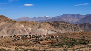
Near Beni Mellal, the landscape is a good illustration of that importance. The river and its tributaries irrigate the wide Tadla plain, one of the most productive farming areas in Morocco, where citrus groves, olives, sugar beet, cereals and vegetables fill the fields. A network of canals and dams, built mainly in the twentieth century, controls the flow and supplies water for farms, towns and hydroelectric stations, and several large dams stand on the river and its tributaries in the mountains and on the plain. Reservoirs behind them have created lakes that are used for fishing and recreation, and the power stations contribute renewable energy to the national grid, which reduces reliance on imported fuel. The scale of the engineering is impressive, and driving along the banks you see canals, pumping stations and orchards in the shadow of the mountains.
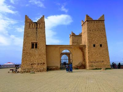
History adds another layer. The river is mentioned in ancient accounts of the Atlantic coast, and local tradition links it with early explorers who sailed along the shore, though such stories are hard to confirm. Berber communities have lived along its banks for millennia, practising irrigated farming and herding, and the river has been a boundary and a route between the mountains and the plain. Towns such as Beni Mellal, Khénifra and Azemmour owe much of their prosperity to it, and the Kasbah of Beni Mellal, a short distance away, overlooks the plain that the river feeds.
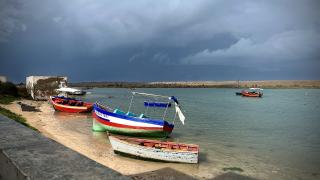
For visitors, the experience is mostly scenic. Quiet spots along the banks offer walks, picnics and views of the mountains, and local people fish and wash and graze animals along the water. Take care near fast water, canals and dam structures, where access is restricted and currents can be dangerous. Dress modestly in farming villages and ask before entering fields.
The river suits those interested in geography, agriculture and engineering, and it works well as a complement to a visit to the kasbah, the springs of Ain Asserdoun and the nearby mountains. Seeing the river in spring, when it runs full and the fields are green, explains why the Tadla is called the granary of the region, and why water is the central subject of Moroccan rural life. The Beni Mellal-Khénifra region is built around it.
Categories

More photos coming soon
Nearby Attractions
Other places to visit in Beni Mellal City

Questions people ask
Quick Facts
Best Time to Visit
Visit between March and May or September and November for mild weather ideal for outdoor exploration.