- Where
- Imlil, Marrakech-Safi
- Directions
- Directions
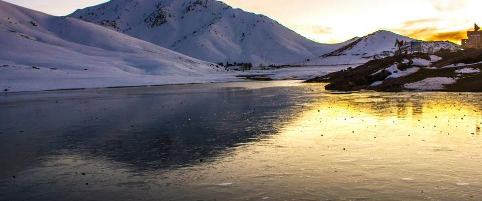
Mount Toubkal rises to 4,167 metres in the High Atlas Mountains, south of Marrakech, making it the highest peak in Morocco, the Atlas range and North Africa. It lies in Toubkal National Park, created in 1942, and its summit is the goal of thousands of walkers each year. The mountain is not technically difficult in summer, but the altitude, steep scree and long days demand good fitness, and it is best treated as a serious mountain walk rather than a casual hike.
The first recorded ascent took place on 12 June 1923, when the Marquis de Segonzac, Vincent Berger and Hubert Dolbeau reached the top. Since then it has become the classic objective for visitors to the High Atlas, and the trails from the valley have been walked by generations of guides, muleteers and trekkers. The summit is marked by a simple metal pyramid, and on a clear day the view stretches across ridges, deep valleys and, to the north, toward the plain of Marrakech.
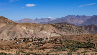
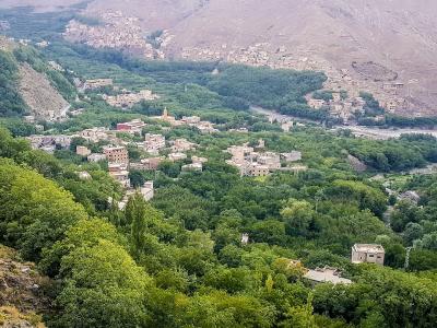
Most people start from Imlil, a village at about 1,740 metres some 60 kilometres from Marrakech, which is the main base for the mountain. The path climbs through walnut and apple orchards, past terraced fields and stone houses, to the shrine of Sidi Chamarouch, a white-domed place of pilgrimage beside the river. From there the trail continues up a stony valley to the Toubkal refuge, usually called the Neltner refuge, at over 3,200 metres, where most walkers spend a night. The summit day begins early, with a steady climb over loose rock and a final ridge. Many people return to Imlil the same day, making it a long but achievable two-day trip.
There are alternatives to the standard route, including a longer circuit via the Lépiney refuge, but most walkers use the Neltner route. The villages along the way are home to Amazigh (Berber) families, and their culture is part of the experience. Houses are built of stone and earth, mules carry loads along the paths, and hospitality is generous, so the trip is also a chance to see a side of Morocco’s mountain life. Hiring a local guide and a muleteer is common and supports the village economy, and a guide is strongly advisable in winter, when snow and ice require crampons and an ice axe.
Weather can change quickly, and even in summer a cold wind and sudden storms are possible. Carry layers, a hat, sun protection, plenty of water, and take altitude seriously by ascending at a steady pace. Respect the villages, take away all rubbish and ask before photographing people. The mountain suits fit walkers who want a high summit without technical climbing, and the best months are late spring, summer and early autumn.
Categories
More photos coming soon
Nearby Attractions
Other places to visit in Imlil

Toubkal National Park
Highest peak in North Africa, accessible from Imlil
Activities & Adventure · Natural Wonders

Imlil Village
Berber village at 1,800m near Mount Toubkal
Activities & Adventure · Cultural Experiences

Berber Villages of the High Atlas
High Atlas Berber villages at Tizi N'tichka pass
Hiking · Mountains
Imlil Village Center
High Atlas gateway with paved access
Hiking · Town Squares
Questions people ask
Quick Facts
Best Time to Visit
Visit in spring or autumn for mild temperatures ideal for hiking and climbing Mount Toubkal comfortably.