- Where
- Chefchaouen, Tangier-Tetouan
- Directions
- Directions
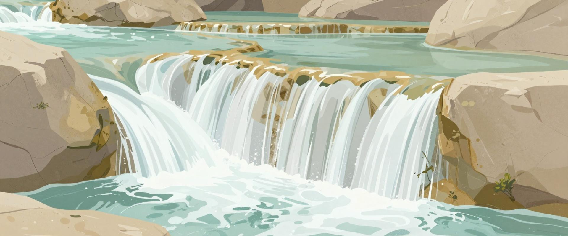
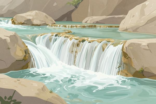
Ras El Ma, sometimes written Ras el-Maa, means Head of Water, and it is the spring that gave Chefchaouen its reason for existing. It rises at the eastern edge of the old town, where water from the Rif Mountains comes out of the rock and flows down a series of stone channels, small terraces and little cascades before it passes beneath the walls and runs through the medina. The Source, as it is also called, is one of the most pleasant corners of the town, cool and green even when the lanes above are hot and busy, and it has been the main water supply and a social meeting place for centuries.
The spring explains Chefchaouen’s location. Chefchaouen was founded in the late fifteenth century as a fortified refuge, and a reliable source of fresh water was essential. Over time, a system of channels distributed the flow to fountains, mills and houses, and the water still runs through the lanes, which is part of the sound of the medina. Old water mills once stood along the stream, grinding grain for the town, and traces of them can be seen. The mountain water is clear and cold, and local people say it is among the best in the region.
A short walk leads to it. From Place Outa el-Hammam, known in some spellings as Plaza Uta el Hammam, follow the lanes downhill to the northeastern gate of the medina and then out along a paved path beside the stream. The walk takes about ten to fifteen minutes, and the sound of flowing water guides you. At the spring itself, a small plaza has benches and a few cafés and stalls, and the stream tumbles over rocks into pools lined with ferns and mosses. Women from the town still bring washing to the stone troughs, a tradition that gives visitors a glimpse of daily life, though photographs of them should only be taken with permission.
The spring is also the starting point for walks into the hills. A path climbs from here to the Spanish Mosque on its hill, and other trails lead into the Rif Mountains toward farms and viewpoints. In spring and early summer, flowers bloom along the stream, and in autumn the leaves turn. The surrounding slopes are used for grazing, and goats and sheep are common.
Visitors should wear shoes with grip, since stones are wet and slippery, and be careful with children near the water. Dress modestly, keep noise low and avoid blocking the washing places. There is no entrance fee, and the site is open at all times, though early morning is the quietest. The spring suits walkers, families and photographers, and it makes a pleasant start or end to a day in the medina. It shows how a mountain stream shaped a Moroccan town, and why water has such meaning in the culture.
Categories
More photos coming soon
Nearby Attractions
Other places to visit in Chefchaouen
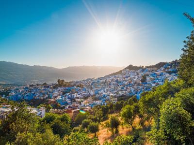
Medina of Chefchaouen
15th-century refuge with blue-washed buildings
Architecture · Historic Towns

Grand Mosque (Great Mosque)
15th-century mosque at Place Outa Hammam
Architecture · Historic Towns

Chefchaouen Medina Souk
Traditional souk in Chefchaouen's blue-walled medina
Markets · Shopping

Talassemtane National Park
Rif Mountains park protecting fir forests and limestone g...
Activities & Adventure · Natural Wonders
Questions people ask
Quick Facts
Best Time to Visit
April to June and September to October. Winters are cold and wet (most of the town's 480 mm of annual rain falls between November and March); July and August are warm and busy.